Expect more than a beach promenade
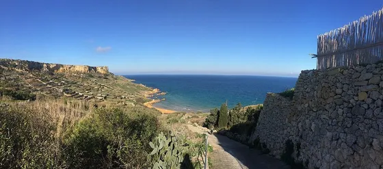
The Ramla Walk starts in Marsalforn and reaches Ramla through Xagħra and surrounding countryside. The official booklet describes an eight-kilometre route with inclines and rocky areas. This is not a flat coastal connection between two resorts. Read the map and allow a walking day’s attention to navigation, surfaces and your group’s pace.
Choose heritage stops deliberately
Xagħra offers several possible diversions, including Ġgantija and Ta’ Kola Windmill. An indoor visit changes the timing and may require separate admission or opening checks. Choose one rather than assuming every named place in the booklet belongs in the same day. A village food break can be just as useful as another ticketed stop, especially before the final approach to the bay.
Finish with a return plan
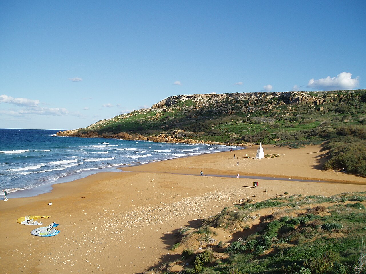
Ramla is a satisfying destination, but the walk does not end your transport needs. Confirm how you will get back to your base or the harbour and avoid relying on an old route number. Protect the dunes, keep to established access and leave enough energy for the last stage. A swim is optional and depends on the actual conditions, not the walking itinerary.
The useful details.
- Treat the route as an inland walk.
- Check heritage admissions independently.
- Organise transport from Ramla before starting.
Sources & updates
Reviewed 2026-10-29. Prices, opening times, transport and access rules can change; use the official sources below before setting off.