
Begin with the point-to-point logistics
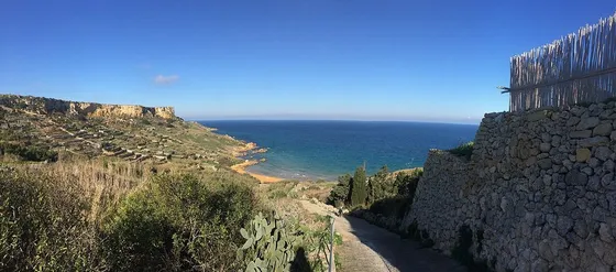
The published Xlendi Walk starts at Mġarr Harbour and finishes in Xlendi, covering southern coast and countryside along the way. The official booklet describes twelve kilometres with cliff-top sections. Your first decision is how to return from Xlendi, not where to take the first photograph. Confirm current buses or a collection before beginning.
Let the landscape set a steady rhythm
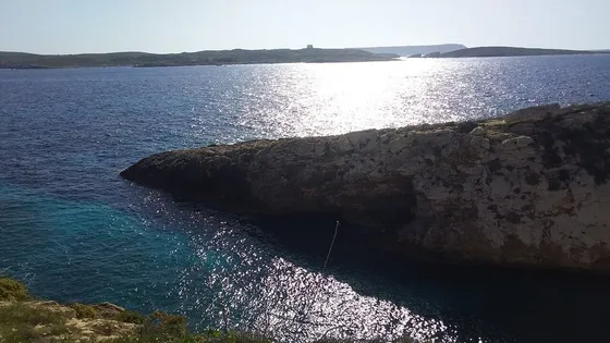
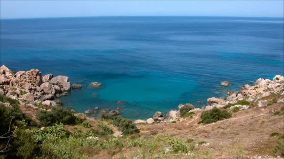
The route’s interest comes from contrasting coastal stretches, the Mġarr ix-Xini area, Sannat and the approach towards Xlendi. Choose a manageable number of pauses and keep enough water and energy for the later sections. A long restaurant stop or a swim may be better saved for the destination rather than inserted before a substantial remaining walk.
Use current information for the finish
Read the booklet’s map, but check present-day route access, forecast and transport independently. Never treat a cliff-top path as a reason to approach an edge. If a section is closed or unclear, use a sensible alternative through a settlement or arranged transport. Reaching Xlendi comfortably is more useful than completing an exact line on an old map at any cost.
The useful details.
- Confirm the return from Xlendi first.
- Allow for twelve kilometres and exposed sections.
- Keep long leisure stops for the finish.
Sources & updates
Reviewed 2026-10-29. Prices, opening times, transport and access rules can change; use the official sources below before setting off.