Read the route as a whole
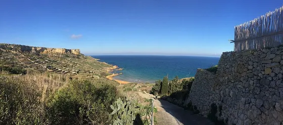
The official Ħondoq ir-Rummien Walk begins and ends at Mġarr Harbour and links Għajnsielem, Nadur, Qala and the bay. The booklet describes a ten-kilometre circuit with repeated climbs and descents. That combination matters more than a reassuring difficulty label. Read the map before choosing the route, and do not expect the shoreline to provide a continuous easy shortcut.
Choose useful stops
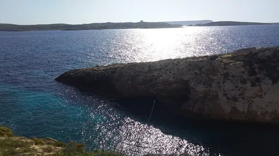
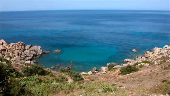
Village squares and viewpoints give the circuit a rhythm that differs from a beach-only trip. Pick one substantial food break and leave time for the changing views towards Comino. If you stop at the bay, remember that wet clothes, equipment and tired legs will all affect the remaining ascent. You can enjoy the water visually without making a swim part of the plan.
Treat the booklet as historical route information
Official walking leaflets can retain old transport or facility details. Confirm current services, access and weather, and follow local signs when they differ from an older description. Establish where you can shorten the outing by ordinary transport. Carry an offline map and enough battery to navigate, but avoid following a device across private land or a closed path.
The useful details.
- Read the whole ten-kilometre circuit first.
- Choose one planned food stop.
- Confirm current buses rather than leaflet timetables.
Sources & updates
Reviewed 2026-10-29. Prices, opening times, transport and access rules can change; use the official sources below before setting off.