Understand the inland connection
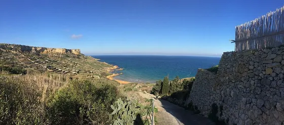
The official Saltpans Walk starts and ends in Victoria, linking inland Gozo with the northern coast, Wied il-Għasri and the Xwejni and Qbajjar area. Its appeal is the progression between settlement, valley and working shoreline. Read the route before starting and distinguish the full circuit from a short stroll beside the pans.
Respect production as well as scenery
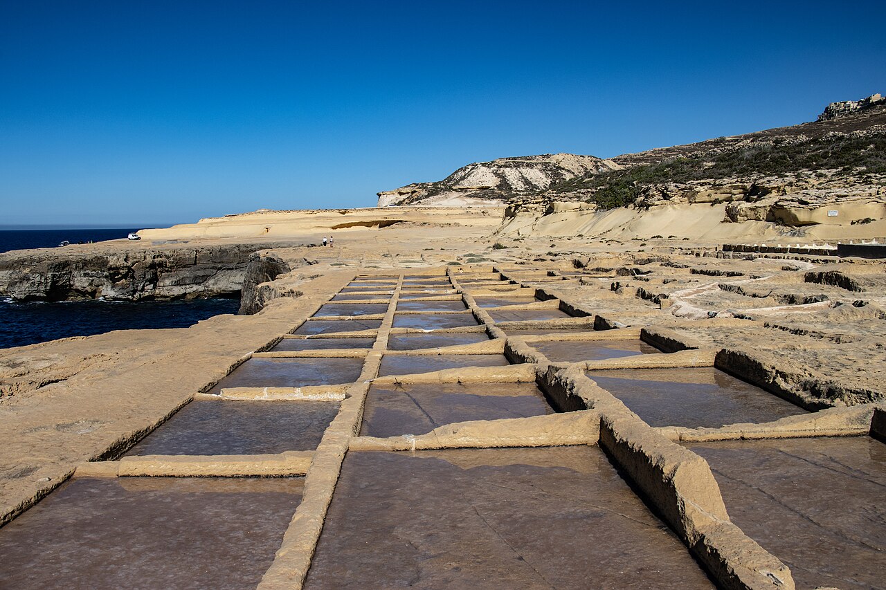
Salt basins are part of a working landscape. Walk on the public route and avoid stepping across the pans even when they appear dry. Photographs are more interesting when they show the relationship between coast and work, but they should never require moving tools or entering a private structure. Keep dogs controlled and take picnic waste away.
Build a flexible circuit
Choose a food pause and an ordinary transport alternative before committing to the coastal section. The older booklet provides route context, while current access, weather and services require separate checks. If you prefer a shorter day, arrange a starting or finishing point at a settlement rather than creating a shortcut through farmland. Allow enough time to reach your final bus or collection comfortably.
The useful details.
- Choose the full circuit or a coastal section explicitly.
- Do not walk across salt basins.
- Confirm current services outside the old booklet.
Sources & updates
Reviewed 2026-10-29. Prices, opening times, transport and access rules can change; use the official sources below before setting off.