Start with the village, not a shortcut
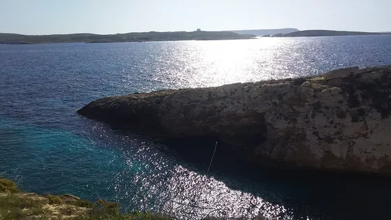
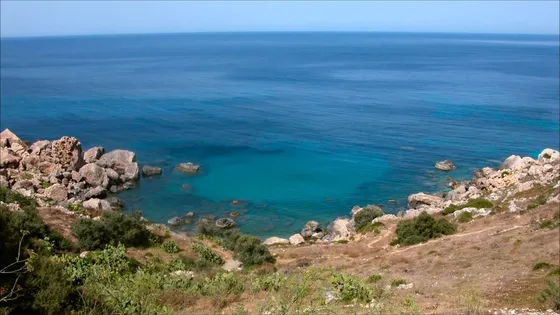
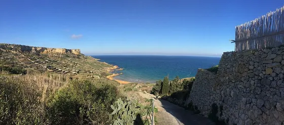
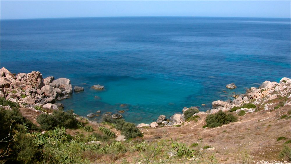
The official Daħlet Qorrot Walk starts and ends in Nadur, taking in eastern countryside, coastal views and the small bay. Begin with the map and identify the roads leaving the village. The route is interesting because it changes character; cutting directly to the shore can remove the village and valley sections that make it a walking itinerary rather than transport to a beach.
Protect time for observation
Allow for a slower pace around rural lanes, terraces and the boathouses at the cove. These are working places rather than scenery arranged for walkers. Keep clear of fishermen’s equipment, do not enter fields and avoid blocking narrow roads while photographing. Carry a picnic only if you can take every part of it home again, including food scraps and packaging.
Plan the afternoon finish
Decide whether you want the complete circuit before descending towards the coast. Nadur provides a practical return anchor, while an improvised coastal extension can add unfamiliar terrain. Check the current approach, forecast and bus connections separately from the older booklet. If the route is interrupted, retrace an established section or use arranged transport rather than inventing a way through farmland.
The useful details.
- Start with the official Nadur route map.
- Leave boathouse entrances and roads clear.
- Keep an alternative return if access changes.
Sources & updates
Reviewed 2026-10-29. Prices, opening times, transport and access rules can change; use the official sources below before setting off.