Start with visible differences
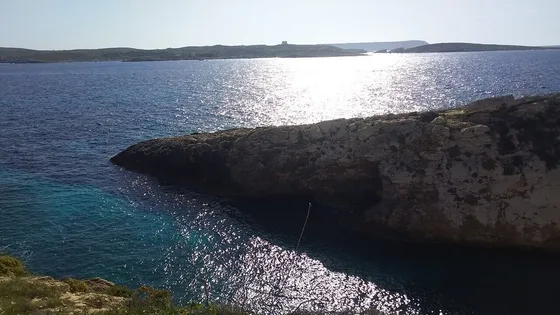
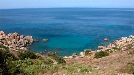
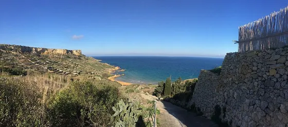
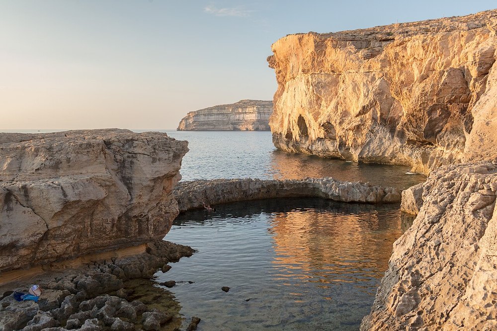
Gozo’s coast is a good place to notice how rock layers, slopes and erosion create different shapes. Dwejra, the northern salt-pan coast and the southern cliffs each show a different relationship between land and sea. You do not need to identify every formation to enjoy the visit. Begin by comparing colour, texture and the way the coast changes along an established public route.
Keep the evidence in place
Look closely without removing fossils, stones or plants. A specimen taken home loses its setting and may damage a protected or working landscape. Use photographs and notes instead, and avoid hammering, climbing on fragile surfaces or crossing barriers for a better view. For specialist interpretation, seek a knowledgeable local guide rather than treating a general walking map as a geological field manual.
Choose a comfortable observation circuit
One coastal area is enough for an afternoon. Combine it with a nearby village pause and allow time to return before darkness. Do not regard a broad rock platform as automatically safe to approach in rough weather. The sea and the land remain active parts of the scene; keeping a sensible distance helps you observe them for longer and with less disturbance.
The useful details.
- Photograph features rather than collecting them.
- Use a guide for specialist interpretation.
- Stay back from exposed shore and cliff edges.
Sources & updates
Reviewed 2026-10-29. Prices, opening times, transport and access rules can change; use the official sources below before setting off.